
Mapimator
An online tool for making map animations with routes, markers, camera paths, and exports for video and social use.
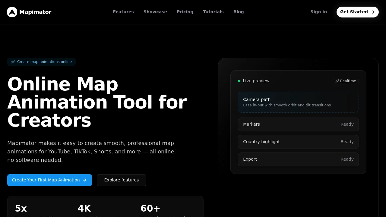
Mapimator helps creators turn routes, journeys, and regions into animated map visuals without needing desktop software. It runs directly in the browser, making it useful for people creating videos, presentations, lessons, or team updates that need clear movement and location-based storytelling.
The platform focuses specifically on animated map graphics rather than general video editing. You can build scenes with routes, markers, labels, highlights, camera movements, and keyframes, then export the finished animation for platforms such as YouTube, TikTok, and Shorts.
Key Features
Browser-Based Map Animation
Create animated maps directly in your browser without installing desktop software or configuring After Effects.
- Fully browser-based workflow
- No desktop software required
- No After Effects setup
- Build and edit animations online
- Live project preview
Map Styles & Templates
Start with different visual styles and templates instead of building every map animation from scratch.
- Large selection of map styles
- Animation templates
- Different visual treatments
- Ready-to-use starting points
AI Map Director
Describe the journey or story you want to show and let AI help create the map animation.
- Describe a journey in natural language
- Automated camera movement
- Route generation
- Regional highlights
- AI-assisted map storytelling
Routes, Markers & Highlights
Build detailed map scenes with the elements needed to explain movement and geography.
- Animated routes
- Custom markers
- Labels
- Regional highlights
- Camera paths
- Keyframes
Live Preview
See how the animation looks while building it.
- Real-time project preview
- Review camera movement
- Check routes and markers
- Adjust animations before exporting
MP4 & GIF Export
Export completed map animations in formats suitable for different publishing workflows.
- MP4 export
- GIF export
- Social-ready presets
- Multiple output formats
4K Output
Create high-resolution map animations for projects that require more detailed output.
- Up to 4K exports
- High-resolution map visuals
- Suitable for video production and presentations
Project Saving
Keep projects available so you can return to them and export updated versions later.
- Save projects
- Reopen previous work
- Re-export animations
- Continue editing existing projects
GeoJSON & Map Data
Bring your own geographic data into the animation workflow.
- GeoJSON imports
- Custom markers
- Imported map information
- Custom camera paths
Built For Animated Map Storytelling
Mapimator is designed for creators and teams that need to explain routes, journeys, locations, or geographic changes visually.
It is particularly suited to:
- Travel creators showing journeys and destinations
- History channels explaining historical movements and events
- Military channels visualizing campaigns and geographic changes
- Gaming creators explaining maps, routes, and locations
- Educators teaching geography, history, and movement
- Businesses presenting routes, regions, and location-based information
- Agencies creating animated map content for clients
Common Use Cases
Travel Videos
Create animated route maps for travel videos, itineraries, road trips, and destination guides.
YouTube & Short-Form Content
Produce map animations for YouTube videos, TikTok, Shorts, and other social platforms without moving into a full desktop motion graphics workflow.
History & Military Content
Visualize historical journeys, campaigns, territorial changes, and movements using animated routes and regional highlights.
Educational Content
Use animated maps to make geography, history, travel routes, and other location-based concepts easier to understand.
Business Presentations
Create map-based visuals for explaining territories, routes, locations, markets, and geographic operations.
Team Updates
Use animated maps to communicate movement, locations, travel plans, or other geographic information to internal teams.
AI-Assisted Map Animation
Mapimator includes an AI Map Director that helps turn a description of a journey into an animated map sequence.
Instead of manually configuring every camera movement and route, creators can describe what they want to show and let the AI handle parts of the animation setup. This can make it easier to move from an idea to a usable map visual without learning a traditional motion graphics workflow.
Browser-Based Alternative to Desktop Map Animation
Creating polished animated maps traditionally involves desktop editing software and a more involved motion graphics workflow. Mapimator keeps the process in the browser, allowing creators to build routes, camera movements, markers, and highlights without installing specialized software.
The browser-based approach makes it practical for quick projects where the goal is to create and export a map animation rather than manage a full video production environment.
High-Resolution & Social-Ready Output
Mapimator supports MP4 and GIF exports, along with presets designed for common social publishing requirements. Paid plans can also provide higher-resolution output of up to 4K.
This gives creators flexibility to use the same map animation across social videos, presentations, educational material, and other content formats.
Team & Commercial Workflows
For teams working on map animation at a larger scale, Agency and Enterprise plans add collaboration and licensing capabilities.
These plans include features such as:
- Shared workspaces
- Multiple seats
- Commercial licensing
- Broadcast licensing
- Team-oriented project workflows
Why It Matters
Animated maps can make routes, journeys, geographic changes, and movement much easier to understand, but creating them from scratch can require specialized software and motion graphics skills.
Mapimator focuses specifically on this workflow. It combines map styles, templates, routes, markers, camera movement, keyframes, AI assistance, and export tools in a browser-based environment.
The result is a streamlined way to turn geographic information into animated visuals without requiring a full desktop motion graphics setup.
Turn Routes Into Animated Maps
Create animated routes, journeys, and geographic visuals directly in your browser with AI-assisted map direction, templates, custom markers, camera movement, GeoJSON support, and exports up to 4K.


