
RouteSketcher
Create running, cycling, and walking routes that form shapes on a map and export them to fitness apps.
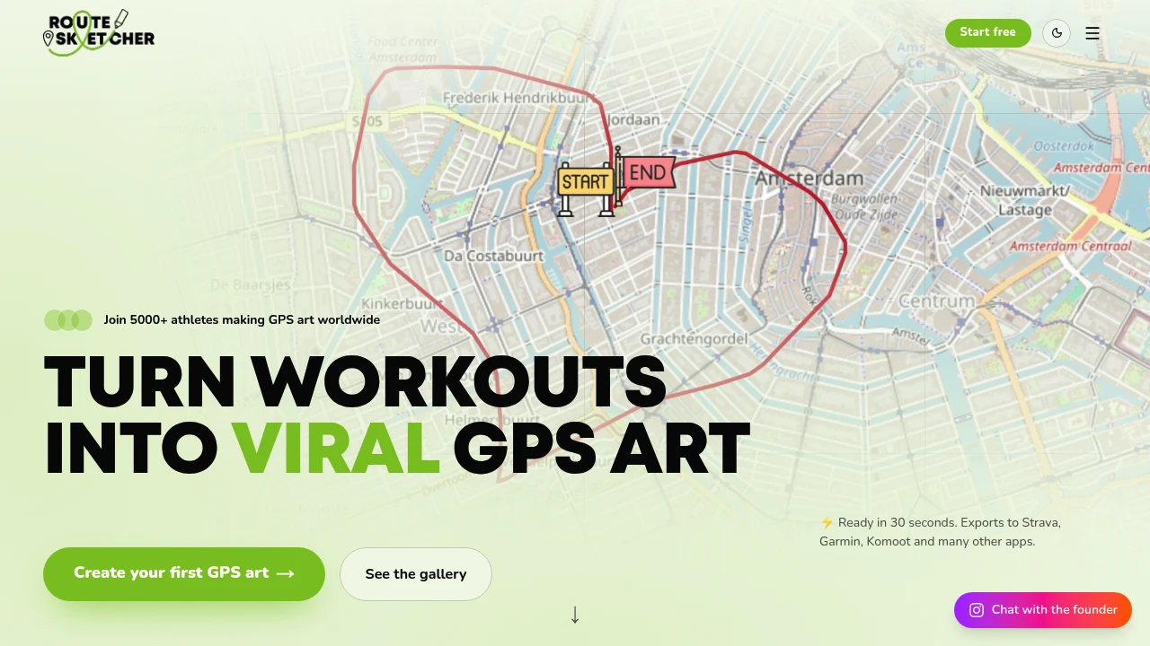
This GPS art route planner helps runners, cyclists, walkers, and other fitness enthusiasts create routes that form shapes, drawings, and visual patterns when viewed on a map. Instead of manually piecing together streets and turns, you can focus on the shape you want your route to trace and turn that idea into a path you can use for an actual activity.
The platform combines map-based route design with support for running, cycling, and walking, then lets you export completed routes to fitness platforms such as Strava and Garmin. This makes it useful for anyone who wants their workout route to be more than a way to get from one place to another.
Key Features
Map-Based GPS Art Design
Design routes directly on a map with a visual shape or drawing in mind.
- Create shapes and designs
- Plan routes around a visual pattern
- See the intended route on a map
- Focus on the finished GPS artwork
The map-based workflow makes the visual outline the starting point rather than requiring you to manually construct every part of the route.
Routes For Running, Cycling, And Walking
Create GPS art routes for different types of outdoor activities.
Supported activities include:
- Running
- Cycling
- Walking
This makes the tool suitable for individual workouts as well as creative route-based challenges.
Fitness App Export
Once your route is designed, export it to fitness platforms so you can use it during your activity.
Supported destinations include:
- Strava
- Garmin
- Other fitness apps
This connects the creative route-planning process with the apps people already use to record their workouts.
Built For GPS Art Enthusiasts
The platform is designed for runners, cyclists, walkers, and anyone who wants to create a route with a visual pattern.
It is particularly useful when the goal is to produce a recognizable shape on a map rather than simply find the shortest or most practical route between two points.
Common Use Cases
GPS Art Running Routes
Create running paths that form shapes or drawings when viewed after the workout.
Cycling Challenges
Plan cycling routes around a specific visual pattern and export them to a compatible fitness app.
Walking Art Routes
Turn a walking session into a route-based drawing or recognizable map pattern.
Event And Challenge Routes
Design visually distinctive paths for personal challenges, group activities, or organized events.
Creative Route Planning
Start with an idea for a shape and build a usable activity route around that visual concept.
From Map Design To Workout
The workflow keeps the process centered on the finished shape:
Choose the design → create the route on the map → prepare the activity route → export it to your fitness app.
This removes much of the need to manually assemble a route while keeping the visual pattern at the center of the planning process.
Why It Matters
Traditional route planning focuses on distance, roads, navigation, or getting from one location to another. GPS art introduces a different goal: creating a path that becomes a recognizable image when viewed on a map.
This tool makes that concept practical by combining visual route design with activity-ready paths and fitness app exports. Instead of treating the route as background to the workout, the route itself becomes part of the experience.
Turn Your Workout Into GPS Art
Design map-based routes for running, cycling, and walking that trace shapes and drawings, then export them to Strava, Garmin, and other fitness apps. The GPS art route planner helps turn a visual idea into a route you can actually use on your next workout.


